Quantum Sensing Platform
A ruggedized, multisensor quantum sensing platform that fuses traditional and quantum sensors into one ranked, confidence-scored 3D map — deployable on land, in the air, and at sea.
The Platform
RQS-X™ is our quantum sensing platform. It combines multi-signal independent sensing channels, a proprietary physics engine and a super AI layer (UGD-RAI™) to produce a single product: a ranked, confidence-scored 3D map that shows what the sensors found, where it is and how much each finding can be trusted.
The platform is both hardware and software, with its core enclosed in a ruggedized case for mounting on drones and other unmanned systems. Its multi-modal, multi-sensing architecture fuses data from traditional and quantum sensors for greater reach, precision and accuracy. Because the physics engine and super AI layer optimize off-the-shelf sensors, RQS-X™ works with commercially available hardware.
RQS-X™ is also designed to enhance autonomy where GNSS is denied. With sensing supported by atom interferometers, it targets drift below 0.1° per hour, helping an unmanned system maintain its navigation solution when satellite signals are jammed or unavailable.
RQS-X™ supplies awareness and recommendations under human supervision, with no automated targeting or weapons control.
Request a BriefingOne Platform. Every Domain.
The same RQS-X™ core deploys across unmanned platforms on land, in the air, and at sea — one sensing architecture, one ranked 3D picture, wherever the mission runs.
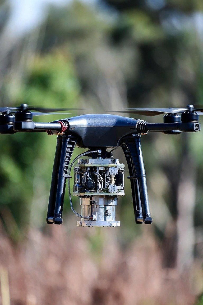
// Land
Structural and subsurface assessment for infrastructure, mining, and resource mapping — reading what sits beneath the surface, not just what the eye can see.
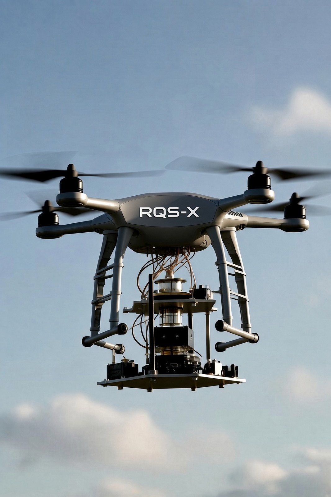
// Air
UAV-mounted for wide-area survey and close inspection — bridges, towers, pipelines, and terrain — with GNSS-denied navigation when links are contested.
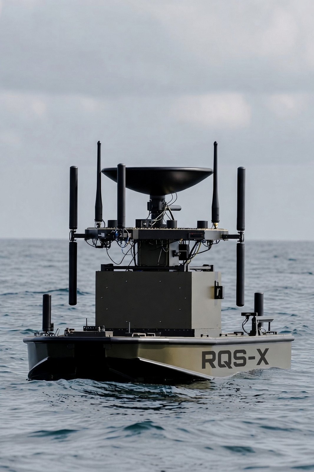
// Sea
Surface and subsurface sensing from uncrewed vessels — all-domain awareness from above the waterline to below it, in open and contested waters.
Applications
RQS-X™ is built for three families of application, each drawing on the same quantum sensing core and the UGD-RAI intelligence layer.
Structural and subsurface inspection for bridges, roads, dams, and rail — plus critical-minerals mining, oil & gas, and resource mapping. RQS-X™ sees what visual survey cannot: the condition of rebar and concrete, voids, and subsurface features.
All-domain sensing from space to undersea — object detection, anomaly identification, and stealth-signature awareness across magnetic and RF domains, engineered for contested electromagnetic environments.
Navigational awareness and automation for autonomous air, land, sea, and space platforms — precise inertial response and GNSS-denied positioning that let unmanned systems operate where satellite navigation fails.
How It Works
RQS-X™ pairs a proprietary physics engine with the UGD-RAI™ super AI layer. Together they take independent, multi-signal sensing channels — traditional and quantum — and resolve them into a single co-registered result rather than a stack of separate feeds.
The output is a ranked, confidence-scored 3D map: every finding carries its location and an integrity score, so an operator or host system knows which readings to trust and can keep moving the mission forward.
Request a BriefingFrom civil infrastructure to defense and autonomy, RQS-X™ brings one ranked, confidence-scored picture to land, air, and sea. Let’s discuss where it fits your mission.